


170 days to Brexit. On 20-21 November, only days after the extra EU Summit, we arrange a high-level non-profit Brexit Symposium in Soest, Germany.
We have a great lunch-to-lunch agenda with amazing speakers concentrating on practical preparations for Brexit regardless of scenario. You find the updated agenda below. Don’t miss it, still some places left. This is a unique one-time EU-UK event.
Direct link English: https://lnkd.in/g-hZ6ra
Direct link German: https://lnkd.in/gh2fhmr
What do you build? A bridge or a wall? There are different ways of meeting challenges. Either you can try to build a wall to shut out problems and challanges – or you can try to build bridges over to the other side.
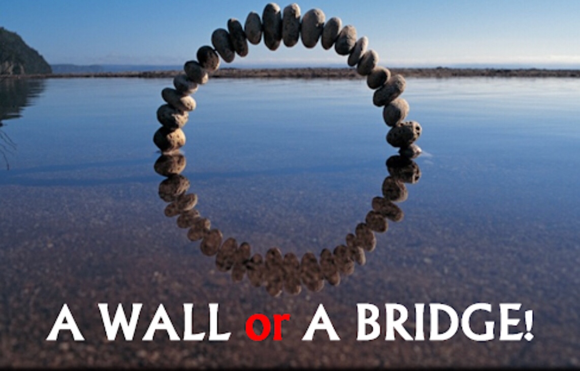
For me the choice has always been easy. I build bridges, bridges to the future. I believe in cooperation. To build things together.

it is important to find new ways. If you build one wall, you will sooner or later have to build another. And another. If you build walls on all sides you will soon find yourself in a closed room without any doors leading out again.
We need bridges and we need to pass these bridges together.
What do you build?
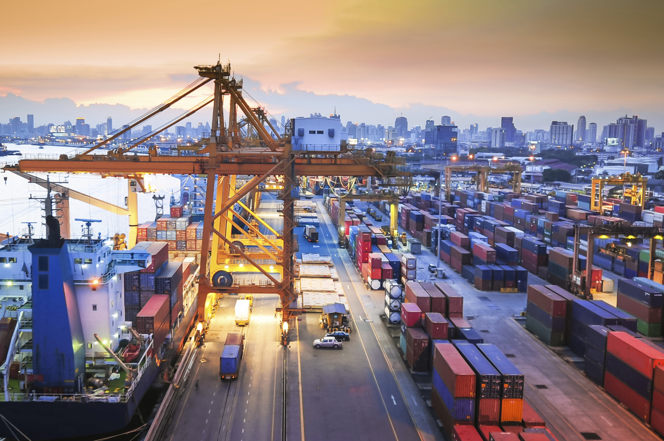
Bristish companies are getting increasingly worried for Brexit and according to a new study the anxiety is now at an all-time-high.
Policians and negotiators are working hard to find a way forward. Government agencies, on both sides, are working hard to prepare.
172 days to go.

The Guardian writes today that British businesses are the most anxious they have been about Brexit since the 2016 referendum, with more bosses reining in hiring and investment plans, a study has found.
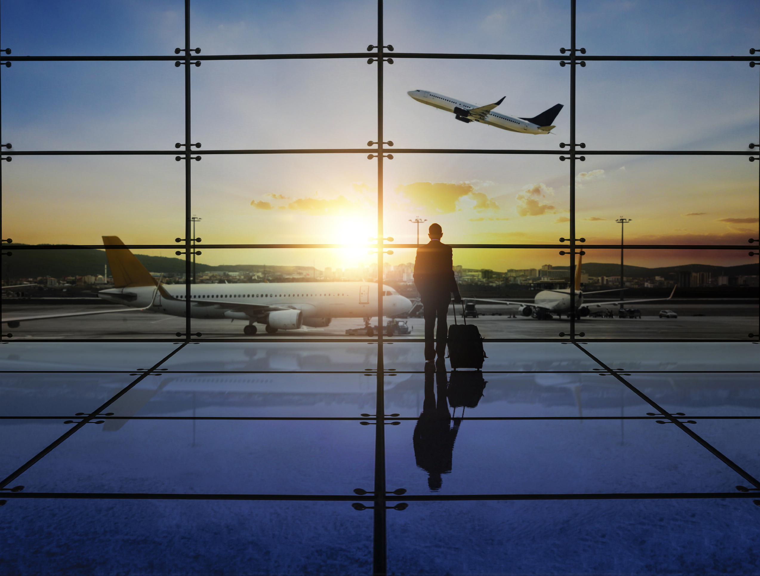
Gloom over Brexit has risen, too; 79% of CFOs say they expect the long-term business environment to be worse as a result of leaving the EU, up from 75% in the second quarter of 2018. This is the third consecutive quarterly rise, to the highest level since the referendum.
For me it is important to also look at the opportunities. A smart border solution would and should not only be about damage reduction, but also building the best border process in the world. This would actually over time prove to improve trade everywhere.
Source: The Guardian
You can read the article here: Brexit anxiety for businesses ‘at highest since referendum’
You must be logged in to post a comment.